Scene Builder
Turn drone photos into maps, 3D models, and measurements — right in your browser.
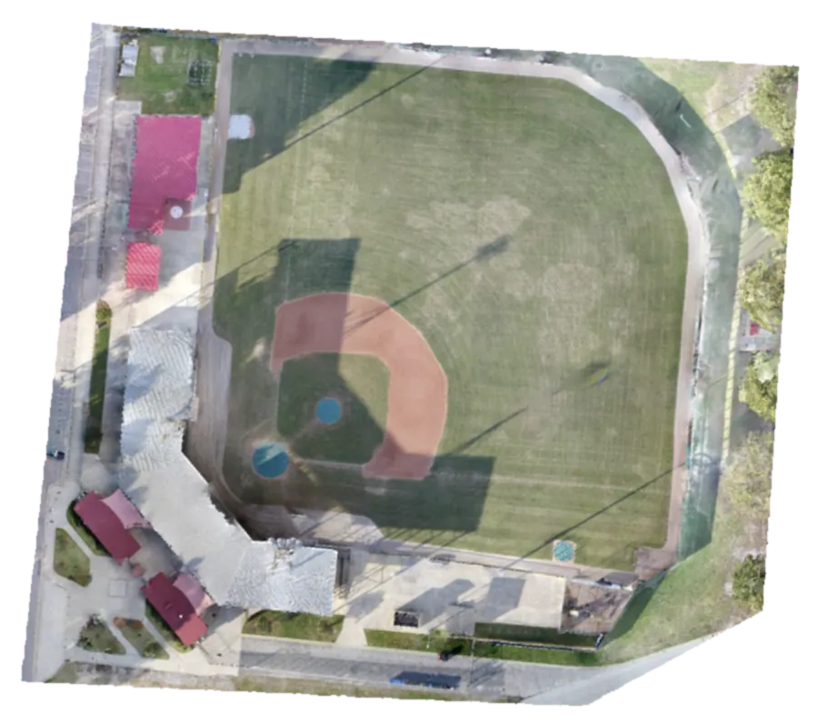
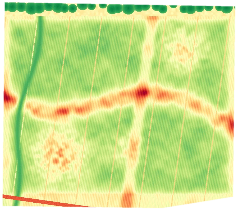
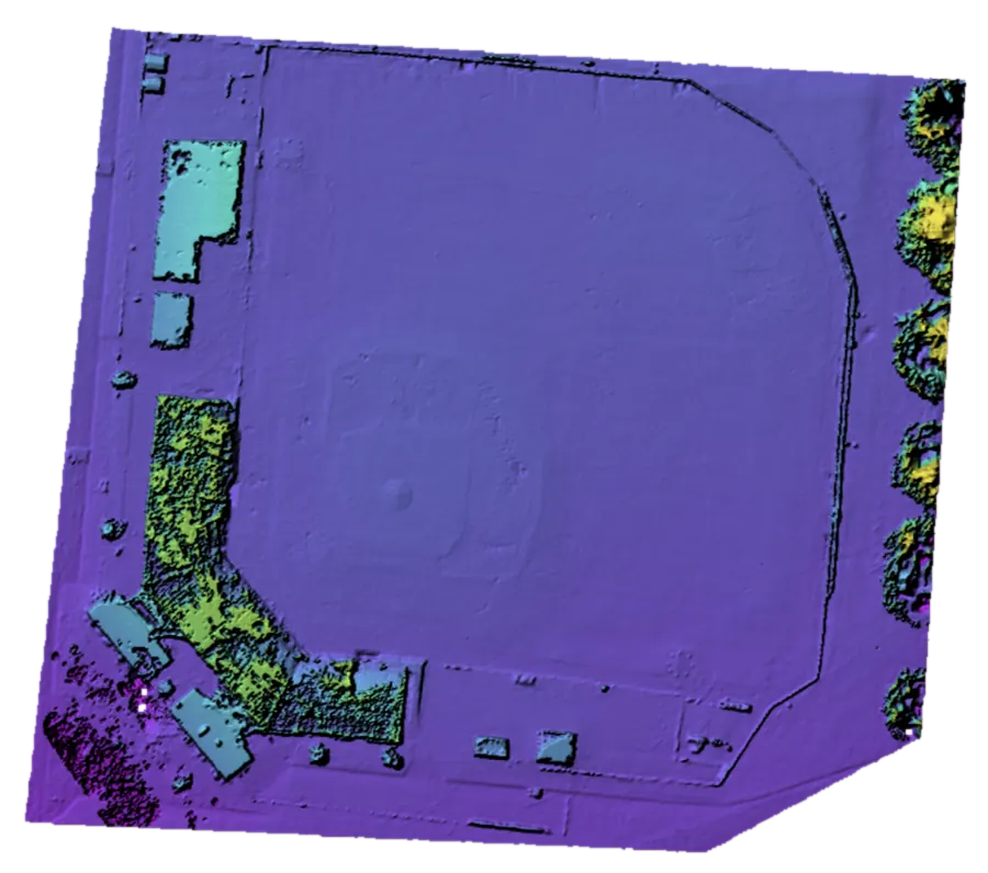
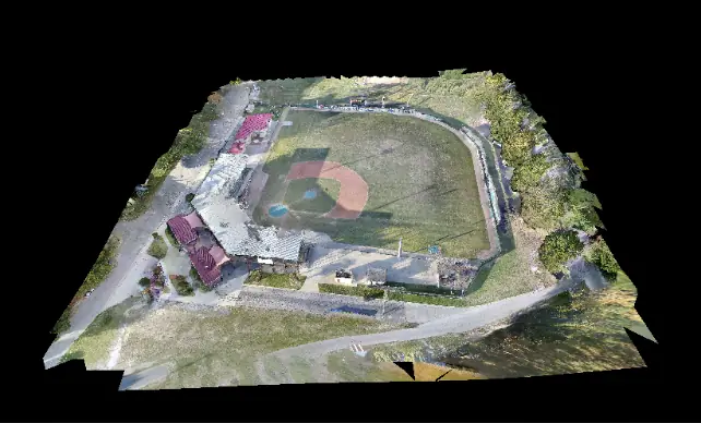
Scene Builder processes drone imagery in the cloud into orthomosaics, elevation models, point clouds, and textured 3D models you can measure, annotate, and share — from crash scenes and crime scenes to construction sites and farms.
What you get back
Click an output to explore, or drag the 3D model.
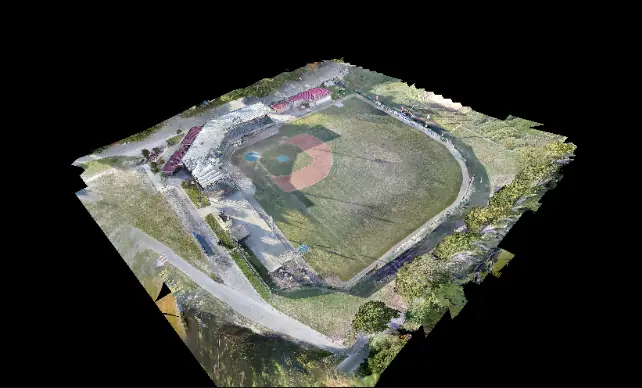
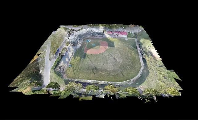
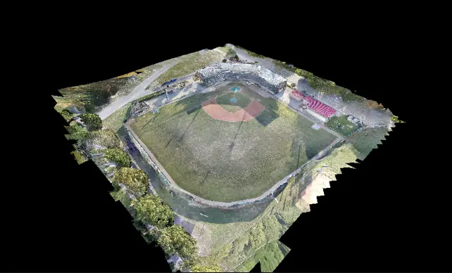
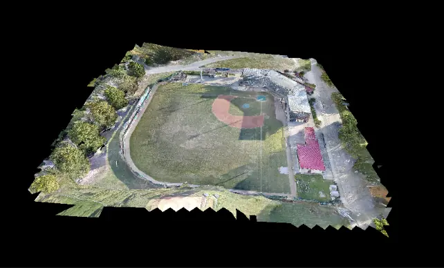
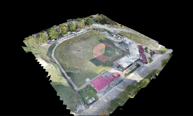
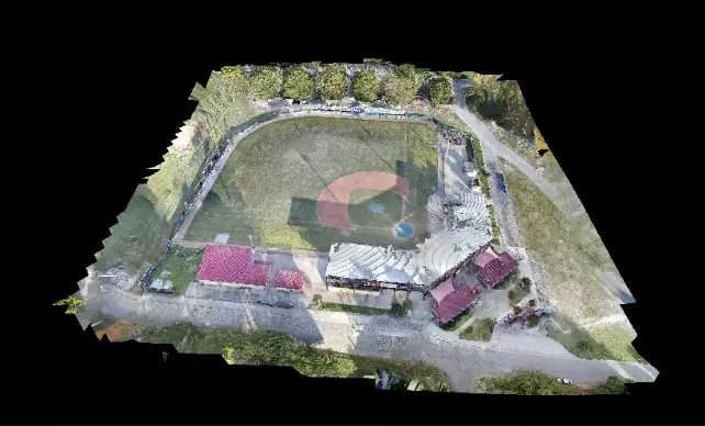
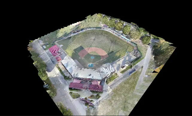 Drag to orbit · scroll to zoom · right-drag to panDrag to orbit · pinch to zoom · two fingers to pan
- Images
- 551
- Points
- 21.0M
- Area
- 11.1 ac
- GSD
- 0.26 in
- Index
- NDVI
- Bands
- 5
- Area
- 40 ac
- GSD
- 3.1 in
From flight to answers
- 01
Fly and capture
Fly an overlapping photo mission with the drone you already have. We can help you plan flights for the accuracy you need.
- 02
Upload
Drag in hundreds or thousands of images from the browser. Add ground control points when you need survey-grade accuracy.
- 03
Process in the cloud
Processing capacity scales up for big jobs, so large projects don't tie up your computers.
- 04
Measure, annotate, share
Measure distances, areas, and volumes, mark evidence and features, export standard formats, and share with your team.
Scene Builder is the same processing pipeline we use for our own mapping and reconstruction work, opened up to agencies and partners. Fly the site, upload the photos, and get a measurable digital record of the scene back — without a workstation farm.
Accident reconstruction & forensic mapping
Document a crash or crime scene from the air in minutes instead of hours on the roadway. Scene Builder produces a measurable, georeferenced record you can revisit long after the scene is cleared.
- Capture the full scene before it changes
- Measure skid marks, distances, and points of rest
- Reopen roads sooner
- Revisit and re-measure any time
High-resolution orthomosaics
Stitch your photos into a single, accurate top-down map that lines up with GIS and CAD.
- Georeferenced GeoTIFF output
- Ground control point support
- Elevation models and contours
3D models & point clouds
Explore textured 3D models and dense point clouds right in the browser — then export them for your own tools.
- Textured 3D meshes
- Dense point clouds
- Orbit, pan, and inspect from any angle
Measure anything
Take measurements directly on the map and model — no field tape required.
- Distance and area
- Stockpile and cut/fill volumes
- Elevation and profiles
What Scene Builder does
Large-project processing
Built to handle missions of thousands of images, with processing capacity that scales up when you need it.
Orthomosaics & elevation
High-resolution orthophotos, DSMs/DTMs, and contours ready for GIS and CAD.
3D models & point clouds
Textured meshes and point clouds you can explore right in the browser.
Measure & annotate
Distances, areas, and volumes measured directly on your maps.
Teams & sharing
Separate organizations and user groups, with controlled sharing to clients and partners.
Your data, your format
Download standard formats anytime — no lock-in.
Built for your team
Survey & engineering firms
Process in-house drone data without buying a workstation farm.
Drone service providers
Deliver professional maps and models to your own clients.
Public safety
Accident reconstruction, forensic mapping, and scene documentation for law enforcement, fire, and emergency management.
Agencies
Keep a mapped, measurable record of your sites and assets.
Specs
- Input
- JPEG/TIFF photos from any drone, optional ground control points
- Outputs
- Orthomosaic, DSM/DTM, contours, point cloud, textured 3D model
- Export formats
- GeoTIFF, LAS/LAZ, PLY, OBJ, glTF, DXF, GeoJSON
- Project size
- Built for missions of thousands of images
- Access
- Browser-based, with organizations, teams, and sharing
- Hosting
- Cloud processing hosted by Triangle UAS
Common questions
Do I need special software or a powerful computer?
No. Upload, processing, viewing, and measuring all happen in the browser — the heavy lifting runs in the cloud.
How accurate are the measurements?
Accuracy depends on flight planning, camera, and ground control. We'll help you set up a workflow that meets your needs, from quick documentation to survey-grade.
Can Scene Builder be used for crash and crime scenes?
Yes. It's built to capture a complete, measurable record of a scene quickly, so investigators can keep working long after the roadway reopens.
Can I get my data out?
Always. Download maps, models, and point clouds in standard formats for GIS, CAD, and reconstruction software.
See Scene Builder with your own data.
We'll walk you through it with your sites, your use case, and your questions.